


Meeting with Inland Action

Inland Action meets with Carrie Harmon, SBCO Director of Community Development & Housing
On February 27, 2024, members of Inland Action met with Carrie Harmon, Director of Community Development and Housing for San Bernardino County. Director Harmon described the Community Revitalization Program that…
Making a Difference
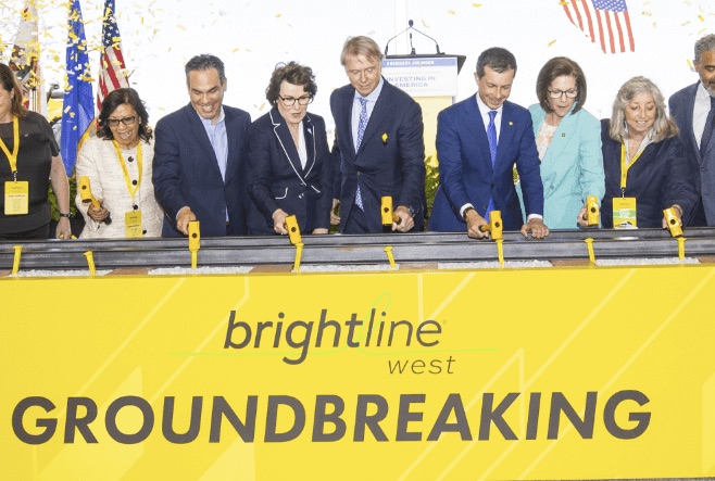
Brightline West breaks ground, making history with high-speed rail
On April 22, 2024 Inland Action members Dr. Ray Wolfe and Otis Greer, both with the San Bernardino County Transportation Authority, traveled to Las Vegas to attend the groundbreaking for…